Workshops 2022

Image showing SAVI events

Spatial Analytics & Visualization Lab Workshops; Fall 2022

The Spatial Analytics and Visualization Institute (SAVI) is delighted to launch the Fall 2022 spatial analytics and visualization workshop series. SAVI lab workshops in November offer professionals and students the opportunity to learn innovative and hands-on skill sets in 3-hour lab sessions with expert instructors from private industry and higher education. Our expert instructors are here to share their depth of knowledge and experience to the opportunity for learning innovative and hands-on skill sets. __ Individual course fee: Early bird registration (until Oct. 20, 2022): $275 & Regular registration (From Oct. 21, 2022): $300; __ Full program fee (including all of the workshops): Early bird registration (Until Oct. 20, 2022): $975 & Regular registration (From Oct. 21, 2022): $1000; /// With the support of Public Interest Technology University Network & Mary Brugo endowment, these workshops are FREE for SJSU students /// Details for each workshop are provided below
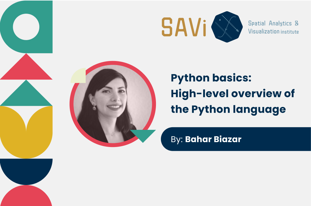
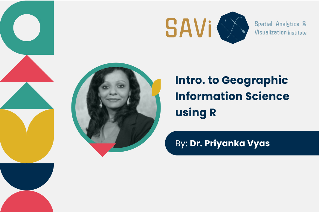
Image of the event title and instructor

Python basics:High-level overview of the Python language

By completing this workshop you will have an overall understanding of Python programming language and its applications, data types, operators and functions. You will also learn about Python libraries and how you can utilize them in your field of interest.

REGISTERATION CLOSED

Image of the workshop instructor Dr. Priyanka Vyas

Intro. to Geographic Information Science using R

As ‘Big Data’ has become a buzzword and GIS skills are becoming of increasing use to Data Scientists, this course will provide you with introductory skills in doing GIS analysis using R. This allows mapping in the R environment while harnessing R’s capability in data manipulation, transformation, and advanced statistical analysis. Since every software has a specific structure through which it can read the data correctly, the workshop will start with the basics of importing GIS data and data in different types of file formats such as csv in R. 

SJSU Student Register Here for Free

Non-SJSU Register here

Image contains a picture of the instructor and some illustrations

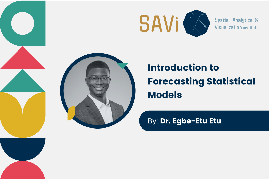
Introduction to Applied Time Series Analysis & Forecasting

The objective of the course is to introduce you to time series analysis and forecasting. The orientation of the course is theoretical and applied. A theoretical understanding of time series and the forecasting problem is critical for understanding forecasting methods and using them effectively. Students will learn several important tools to provide trend analytics and forecasting based on past data and time series. Students will be able then to apply the tools and techniques of time series analysis to complex problems in areas such as public health, travel demand forecasting and climate forecasting to reach effective solutions.

SJSU Student Register Here for Free

Non-SJSU Non-SJSU Register here

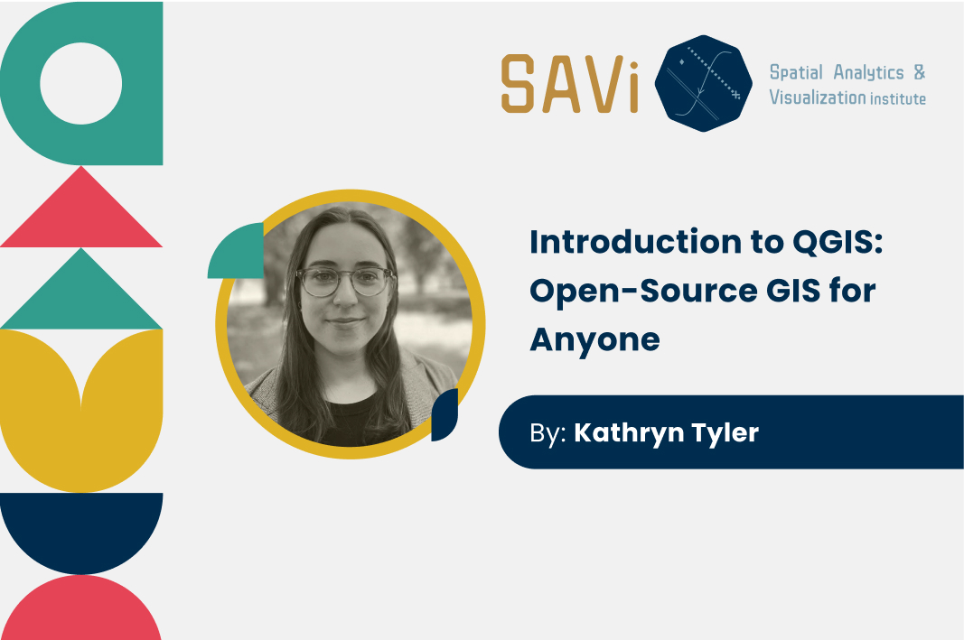
Image of the instructor Kathryn Tyler

Introduction to QGIS: Open-Source GIS for Anyone

This course serves as an introduction to QGIS, the free and open source GIS software. Whether you are looking to switch from ArcGIS or you are newer to GIS, this course will serve as an introduction to the QGIS user interface and will guide you through two introductory projects involving working with both vector and raster data, basic geoprocessing, creating a map layout, and web mapping with QGIS. In the first project you will create a choropleth map using census data. With this map, we will practice making both a traditional static map layout as well as exporting it to a web map. In the second project, you will work with raster and vector data to identify high priority areas for erosion control. Using geoprocessing you will identify areas in Stanislaus National Forest that have recently had a wildfire, are on a steep slope, and are near water.

SJSU Student Register Here for Free

Non-SJSU Register here

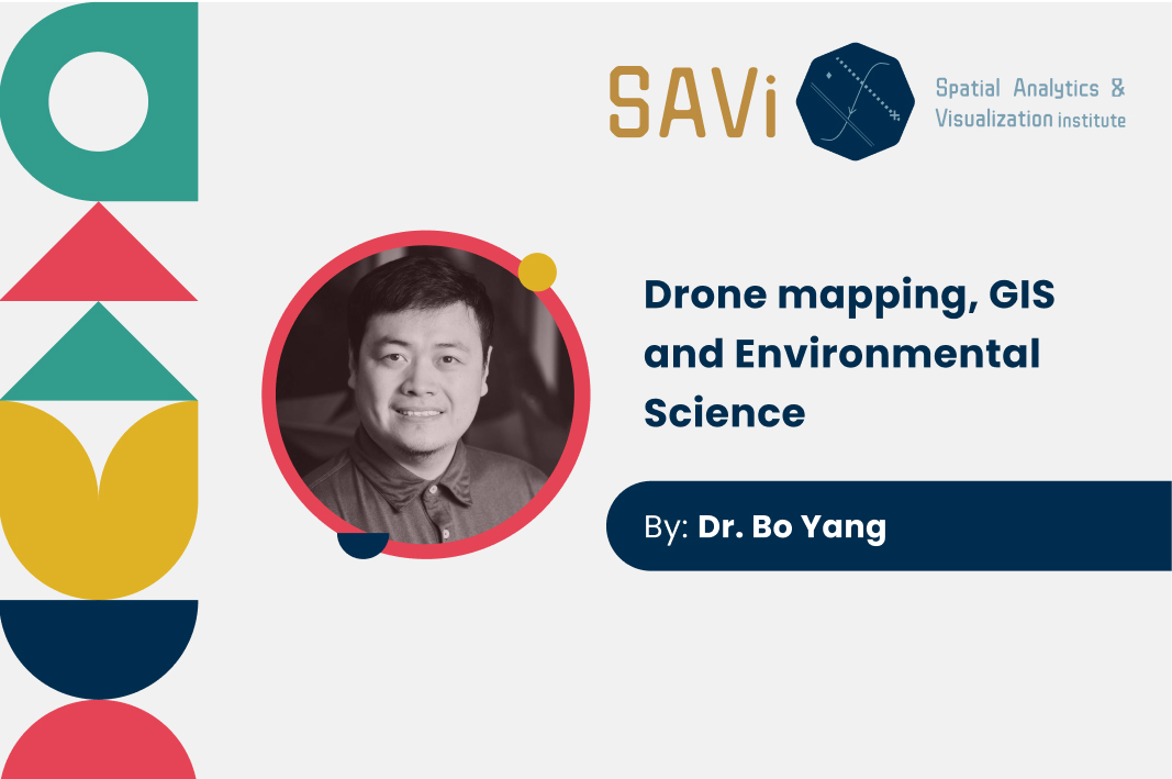
Image of the Instructor, Dr. Bo Yang.

Drone mapping, GIS and Environmental Science

The structure of our drone mapping class includes: how we assessed participants and provided training in drone operations; how we prepared, planned and realized flights; how we discussed air space regulations; how imagery was processed and analyzed; and how data was managed.Self-study tutorials were assigned to the trainees for continued learning efforts for drone mapping. The training program is divided into 5 sections that were implemented in the field, and one post-training self-study guide to prepare participants for the FAA Part 107 examination. This examination is necessary for commercial-based drone operators to conduct flights in the United States.

SJSU Student Register Here for Free


Non-SJSU Register here