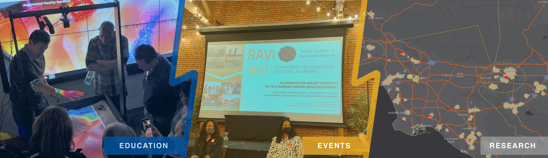
Furthering justice with spatial analytics & visualization!
Welcome to the Spatial Analytics and Visualization Institute (SAVI) page, an official SJSU Campus Institute in the California State University system. We are the only CSU Institute in Northern California to implement advanced GISci techniques for justice, equity, and democracy research and education! SAVI uses the power of geography and Geographic Information Science to produce impactful research and professional services with focus on furthering justice, equity, and democracy to serve our university departments, neighborhood organizations, public agencies and private sector entities in Silicon Valley and the Bay Area.
News
Featured Project
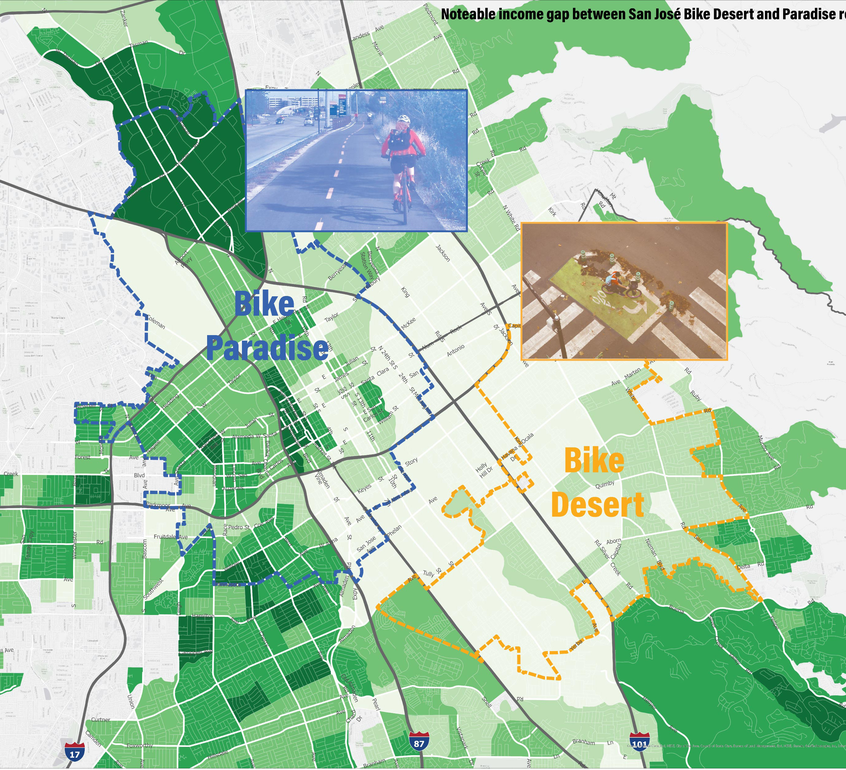
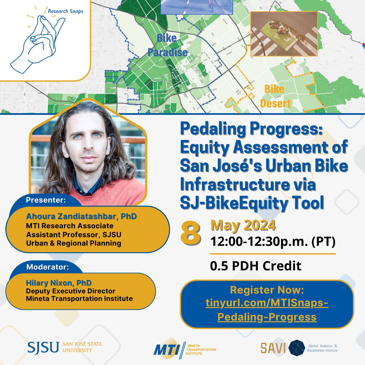
SAVI is honored to partner with the Mineta Transportation Institute for the next SAVI Talk on Wednesday, May 8, 2024 12:00-12:30p.m. (PT). This Research Snap/SAVI Talk webinar showcase the SJ-BikeEquity Project. Bike networks are growing nationwide—including in San José, which is keen on becoming “one of the most bike-friendly cities in North America.” Expanding bike networks and allocating funds require careful planning to ensure a fair distribution of bike infrastructure, but most assessment methods neglect differences in bike path classes that provide different safety and comfort levels for cyclists. Join experts to discuss an equity assessment of San José’s bike infrastructure, driven by a weighting system for different safety and comfort levels of the urban bike network, and what it could mean for traffic congestion, sustainability, and Bay Area communities.
Past Events
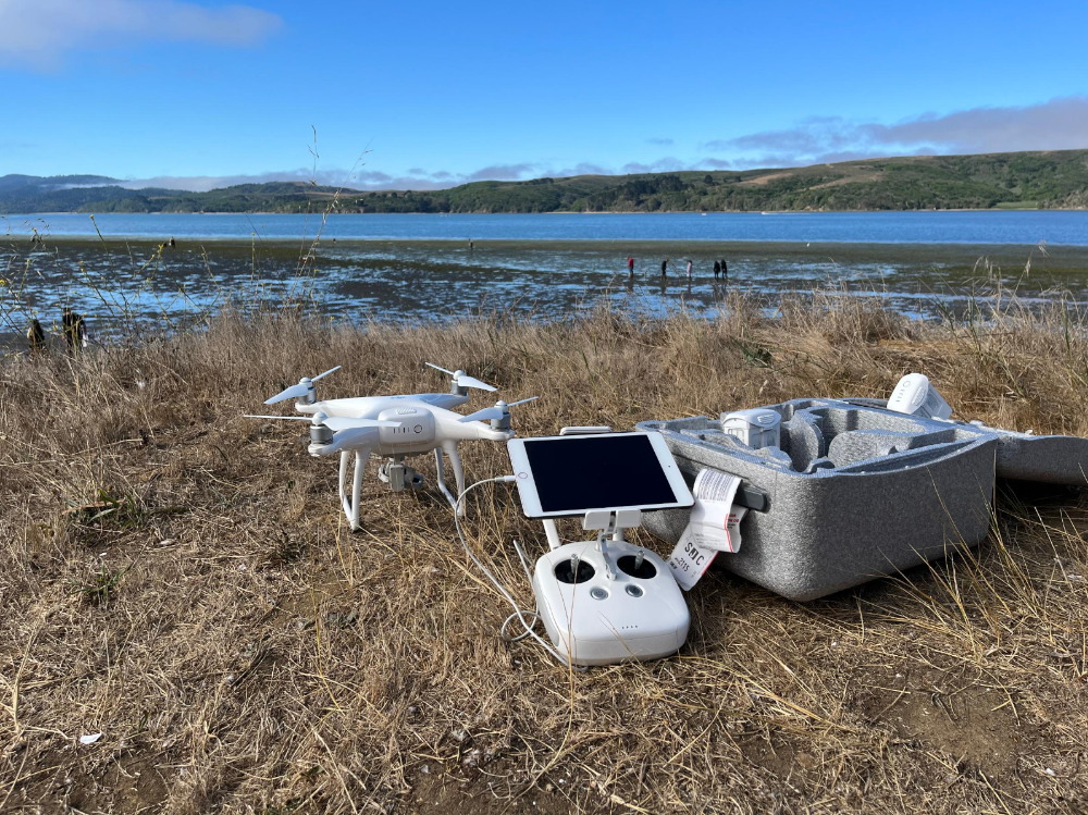
Coastal ecosystems and eelgrass habitats provide important services to the marine environment, including primary production, carbon storage, nutrient cycling, habitat for fisheries species, and erosion control. UASs with high spatial resolution, temporal flexibility, and cost-effectiveness for repeat photogrammetry, afford a significant advancement in other remote sensing approaches for coastal mapping, habitat monitoring, and environmental management. They provide essentially on-demand remote sensing at low cost and with reduced human risk. Drone imagery will be collected at least annually in coordination with in situ samplings which will also be used to validate the imagery by ground-truthing across a range of points within each meadow. Because eelgrass extent in some regions is subtidal and challenging to visualize from the air, we utilize DJI Phantom 4 Pro (RGB) and DJI Inspire (multispectral) drones and related drone mapping technology through Esri Drone2Map. Each year, ideally we allocate 4-6 days at each site for each drone mission to maximize ideal conditions for collecting drone imagery, striving for lowest spring tides, and calm, bright conditions with roughly vertical sunlight.