Community Planning Reports
The professional planning reports available below are the result of collaborative efforts led by students of the Master of Urban Planning program at San José State University who have engaged with communities, policy makers, community-benefit organizations, and city agencies in addressing critical questions about the future of our urban region.
Over 900 students have been trained in participatory planning practices. More than 4,500 community members have interacted directly with university students and faculty in community-based initiatives. Participating communities have received in excess of $31 million in public funds to implement the projects identified in the plans. Moreover, the San José State University’s long-term commitment to working with local communities has facilitated the development of trust and strong ties among all stakeholders.
Plaemaking Strategies for North San Jose
Read the report here: City Streams and Community Dreams: Placemaking Strategies in North San Jose [pdf]
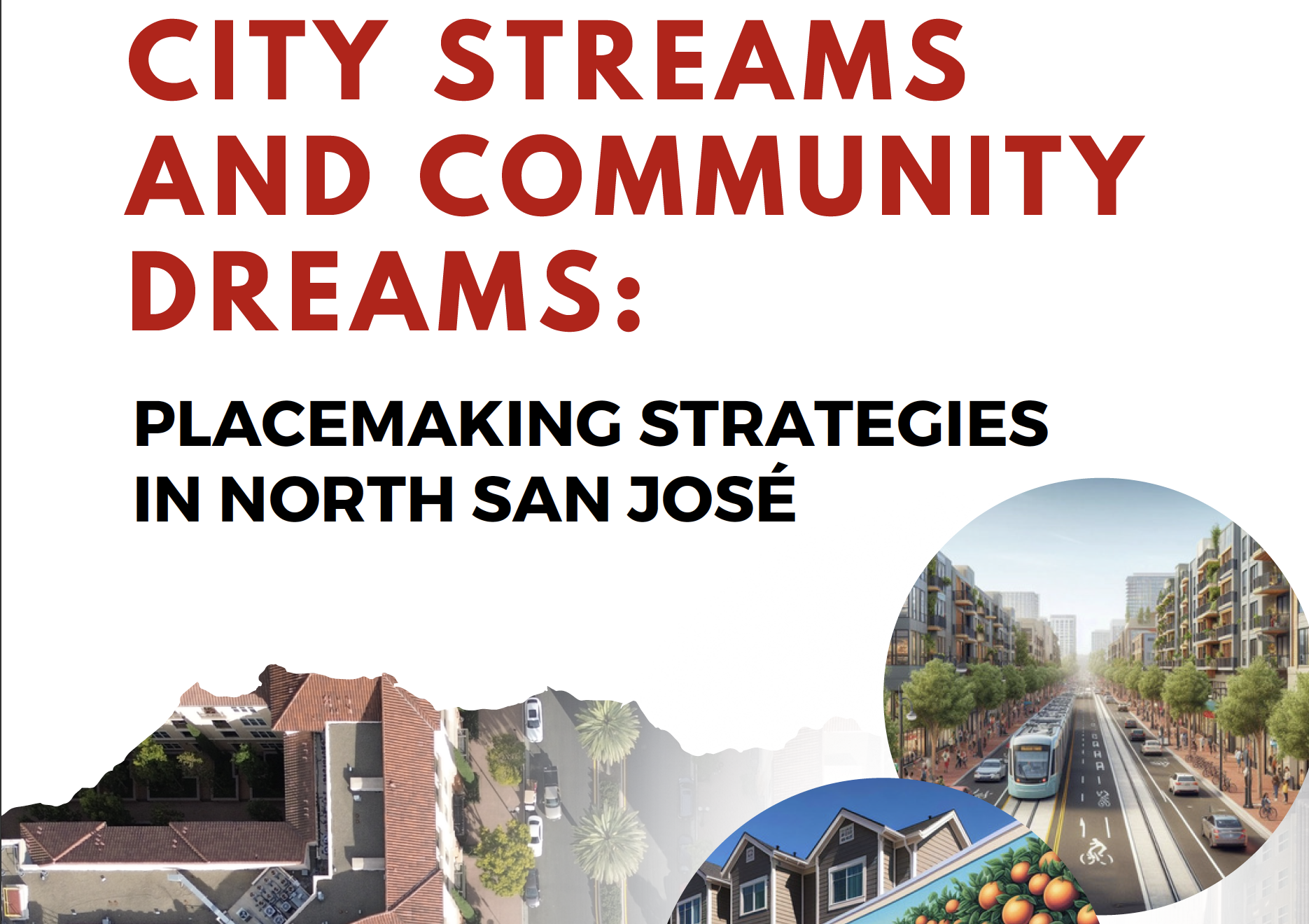
In Fall 2023, a team of 18 graduate Capstone Studio in Community Planning students undertook a systematic assessment of a 6.22-square-mile area known as North San José. They uncovered its unique characteristics and prepared targeted placemaking strategies for the San Jose Dept. of Transportation to consider as it undertakes a multi-year Multimodal Transportation Improvement Planning process. Through extensive community engagment, policy analysis, research into strategic placemaking interventions, and direct observation, the students clearly see this underdeveloped part of the city becoming San Jose's next "intelligently more urban" neighborhood, an urban-suburban hybrid.
Complete Streets Planning: East Santa Clara Street in Downtown San Jose
Read the report here: East Santa Clara Street Complete Streets Analysis [pdf]
for San Jose Department of Transportation Staff [pdf]
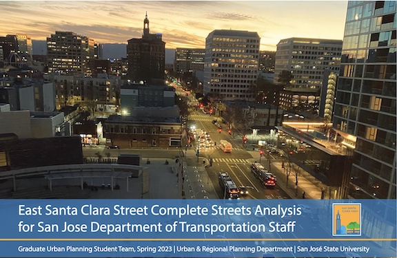
In this unique partnership between two graduate classes (Capstone Studio in Community Planning & Sustainable Transportation Planning) student teams methodically studied East Santa Clara Street. After comprehensively documenting current conditions, the report concludes with specific complete streets-focused recommendations for the San Jose Dept. of Transportation staff to consider.
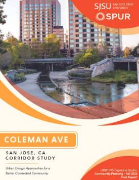
Urban Design Approaches for a Better Connected Coleman Avenue Corridor, San Jose, CA
Read the report here: Urban Design Approaches for a Better Connected Coleman Avenue Corridor, San Jose, CA [pdf]
 This report is created by the grauate students of URBP-295 Capstone Studio course,
Fall 2022 class and client was the San Francisco Bay Area Planning and Urban Research Association (SPUR).
This report is created by the grauate students of URBP-295 Capstone Studio course,
Fall 2022 class and client was the San Francisco Bay Area Planning and Urban Research Association (SPUR).
This project focused on a classroom and
community-oriented study conducted by the class on the area around the Coleman Avenue
corridor and surrounding neighborhoods. The classroom side of the study was conducted
by students on the ground, taking walking tours of a predefined area and using an
internally developed survey criteria. Surrounding communities were surveyed
using a survey developed by students and dispersed by local neighborhood organizations.
Key findings from both sources generally highlight the poor functionality of the Coleman
avenue overpass for CA-87, decent functionality
and pleasant experiences in zones closer to the traditional downtown area, and minimal
pedestrian functionality in the core of the Coleman corridor. Community engagement
also revealed many concerns, justifiable or otherwise, regarding homelessness in the
immediate area.
URBP 295, Fall 2022 Podcast Episodes:
In addition to the report, students made new episodes for CommunityCasting podcast channel with interesting interviews.
Guadalupe River Park - Park User Survey and Recommendations
Read the report: Guadalupe River Park - Park User Survey and Recommendations [pdf]
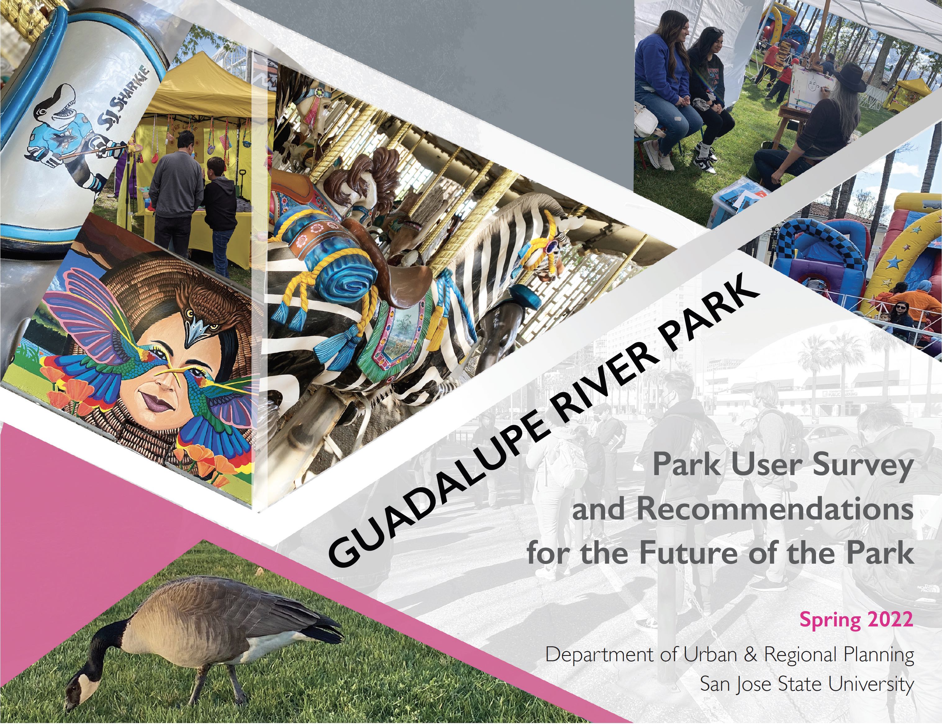 This report was completed by a team of 16 graduate urban planning students in the
URBP-295 Capstone Studio course, Spring 2022. Their client was the Guadalupe River
Park Conservancy. The staff asked the student team to survey the park's users in four
key park locations to identify assets and challenges. Building on the survey findings,
the students prepared a series of podcasts as well as specific recommendations for
the Conservancy to consider as the staff rallies support for "Reimagining the Civic
Commons' in central San Jose.
This report was completed by a team of 16 graduate urban planning students in the
URBP-295 Capstone Studio course, Spring 2022. Their client was the Guadalupe River
Park Conservancy. The staff asked the student team to survey the park's users in four
key park locations to identify assets and challenges. Building on the survey findings,
the students prepared a series of podcasts as well as specific recommendations for
the Conservancy to consider as the staff rallies support for "Reimagining the Civic
Commons' in central San Jose.
Community Priorities for the Alum Rock Corridor
Read the report: Community Priorities for the Alum Rock Corridor [pdf]
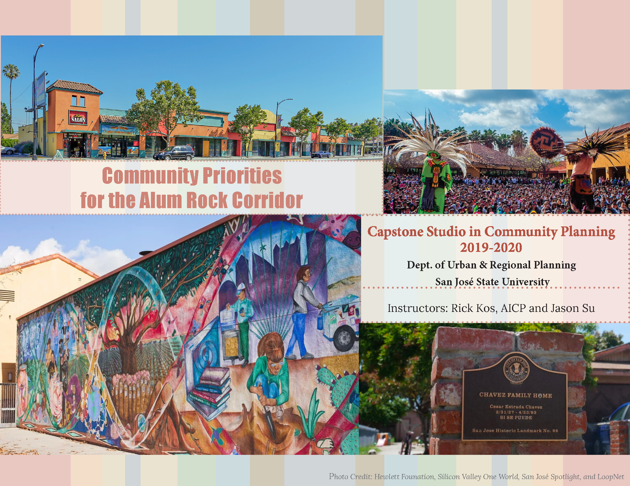 This report earned an Award of Excellence from the American Planning Association,
Northern California Chapter! Graduate student teams completed a robust community
assessment of historically underserved Eastside San José neighborhoods, focusing
on the commercial corridor of Alum Rock Avenue. They comprehensively analyzed the
area’s decades-long legacy of community challenges and sustained activism while documenting
resident and business owner aspirations and concerns. The community-driven priorities
and student recommendations were developed during 18 months of outreach and engagement.
The final report chronicles the study area's many assets as well as the present and
forward-looking priorities of residents, business owners, and other trusted community
members. City planning staff intend to use the findings to inform future discussions
about the Alum Rock Urban Village. The students’ engagement shows the necessity of
engaging those who traditionally do not participate in planning discussions.
This report earned an Award of Excellence from the American Planning Association,
Northern California Chapter! Graduate student teams completed a robust community
assessment of historically underserved Eastside San José neighborhoods, focusing
on the commercial corridor of Alum Rock Avenue. They comprehensively analyzed the
area’s decades-long legacy of community challenges and sustained activism while documenting
resident and business owner aspirations and concerns. The community-driven priorities
and student recommendations were developed during 18 months of outreach and engagement.
The final report chronicles the study area's many assets as well as the present and
forward-looking priorities of residents, business owners, and other trusted community
members. City planning staff intend to use the findings to inform future discussions
about the Alum Rock Urban Village. The students’ engagement shows the necessity of
engaging those who traditionally do not participate in planning discussions.
Downtown to Diridon
Read the report: Downtown to Diridon [pdf]
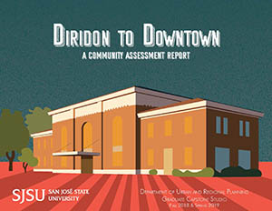 This report, which earned a Student Project Award from the American Planning Association,
focuses on creating stronger physical connections between the City of San Jose’s Diridon
Station and downtown San Jose. The station is currently served by several commuter
and intercity rail lines and will be served by California’s High Speed Rail and regional
BART commuter rail in the future. The SJSU graduate student teams analyzed existing
conditions, engaged dozens of community members, and produced a report with high-quality
recommendations, ranging from improved wayfinding on specific streets, improving bike
parking, and creating a multimodal path linking Diridon Station to Downtown. The report
and recommendations were presented to multiple City of San Jose departments whose
representativea noted that the city plans to implement a number of key recommendations
identified by the students.
This report, which earned a Student Project Award from the American Planning Association,
focuses on creating stronger physical connections between the City of San Jose’s Diridon
Station and downtown San Jose. The station is currently served by several commuter
and intercity rail lines and will be served by California’s High Speed Rail and regional
BART commuter rail in the future. The SJSU graduate student teams analyzed existing
conditions, engaged dozens of community members, and produced a report with high-quality
recommendations, ranging from improved wayfinding on specific streets, improving bike
parking, and creating a multimodal path linking Diridon Station to Downtown. The report
and recommendations were presented to multiple City of San Jose departments whose
representativea noted that the city plans to implement a number of key recommendations
identified by the students.
Now Arriving: A Changing Delmas Park
Read the report: Now Arriving: A Changing Delmas Park [pdf]
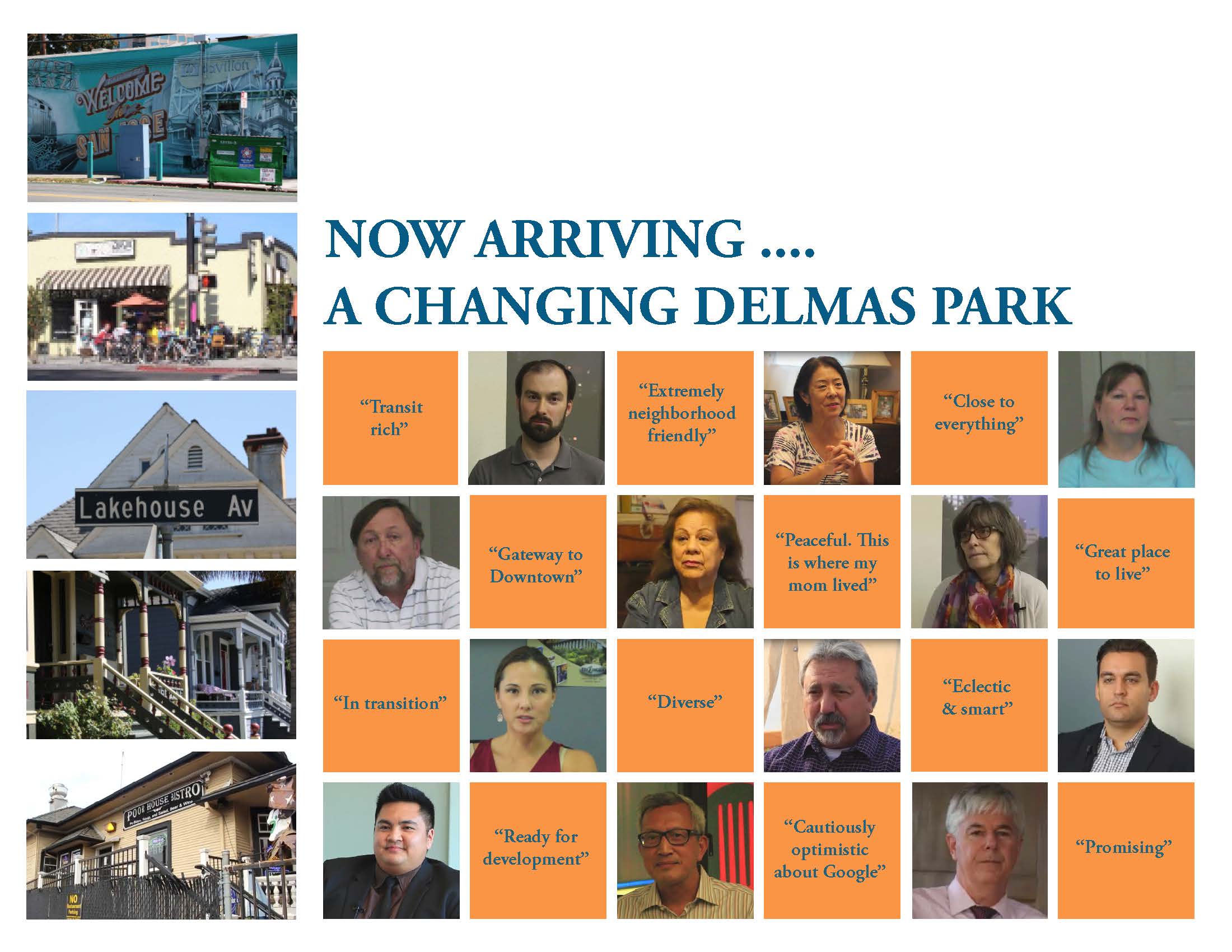 Graduate student teams in Fall 2017 and Spring 2018 worked closely with neighborhood
leaders in San Jose's Delmas Park neighborhood. Delmas Park is the setting for transformative changes in the coming decades, including high-speed
rail and BART arriving at Diridon Station, construction of the Google Campus, and
infill development slated for today's parking lots. The students carefully assessed
the physical, social, and policy landscape of Delmas Park so that city planners and
Delmas Park residents could take stock of baseline conditions in the neighborhood.
Graduate student teams in Fall 2017 and Spring 2018 worked closely with neighborhood
leaders in San Jose's Delmas Park neighborhood. Delmas Park is the setting for transformative changes in the coming decades, including high-speed
rail and BART arriving at Diridon Station, construction of the Google Campus, and
infill development slated for today's parking lots. The students carefully assessed
the physical, social, and policy landscape of Delmas Park so that city planners and
Delmas Park residents could take stock of baseline conditions in the neighborhood.
Northside Neighborhood Community Assessment Report
Read the report: Northside Neighborhood Community Assessement Report [pdf]
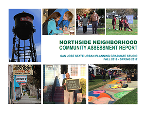 This report is the result of work done by 26 graduate students over the course of
two semesters, Fall 2016 and Spring 2017. The assessment findings represent the current conditions
in Northside and are intended to serve as a platform of facts and recommendations
upon which the neighborhood leaders can guide their future. For more than 120 years,
people from all over the world have called San José’s Northside neighborhood home.
As one of the oldest neighborhoods in the city, Northside has a diverse population
of residents, architecture, and history. These elements, combined with the neighborhood’s
churches, schools, community centers, and businesses, form the rich urban tapestry
that gives Northside its unique character.
This report is the result of work done by 26 graduate students over the course of
two semesters, Fall 2016 and Spring 2017. The assessment findings represent the current conditions
in Northside and are intended to serve as a platform of facts and recommendations
upon which the neighborhood leaders can guide their future. For more than 120 years,
people from all over the world have called San José’s Northside neighborhood home.
As one of the oldest neighborhoods in the city, Northside has a diverse population
of residents, architecture, and history. These elements, combined with the neighborhood’s
churches, schools, community centers, and businesses, form the rich urban tapestry
that gives Northside its unique character.
South University Neighborhood Assessment
Read the report: South University Neighborhood Assessment [pdf]
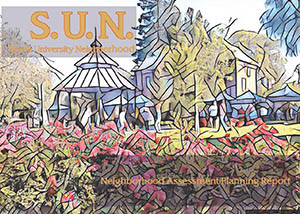 San Jose's South University Neighborhood stands among the city's most eclectic places.
This community assessment was prepared by over 30 graduate students working as part
of CommUniverCity. The report presents the current conditions in SUN and a snapshot
of the different characteristics of the neighborhood. The results will help to lay
the groundwork for more in-depth analyses of SUN, intended to help residents build
on the neighborhood’s strengths and engage with city staff and officials in a more
informed, collaborative way.
San Jose's South University Neighborhood stands among the city's most eclectic places.
This community assessment was prepared by over 30 graduate students working as part
of CommUniverCity. The report presents the current conditions in SUN and a snapshot
of the different characteristics of the neighborhood. The results will help to lay
the groundwork for more in-depth analyses of SUN, intended to help residents build
on the neighborhood’s strengths and engage with city staff and officials in a more
informed, collaborative way.
Bicycle Safety Assessment
Read the report: Bicycle Safety Assessment [pdf]
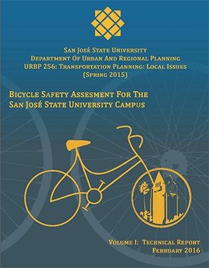 This technical report describes the findings of current conditions of bicycle and
pedestrian safety at SJSU, and the potential opportunities for the future of the campus.
Being that SJSU is located in the heart and downtown of San Jose, it is important
that alternate modes of transportation are made readily accessible to campus, in a
safe manner.
This technical report describes the findings of current conditions of bicycle and
pedestrian safety at SJSU, and the potential opportunities for the future of the campus.
Being that SJSU is located in the heart and downtown of San Jose, it is important
that alternate modes of transportation are made readily accessible to campus, in a
safe manner.
East Santa Clara Street Assessment
Read the report: East Santa Clara Street Assessment [pdf]
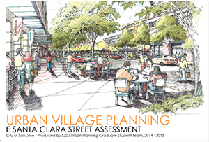 Stretching along East Santa Clara Street from City Hall to the banks of Coyote Creek,
the Urban Village study area features historic homes, mom-and-pop shops, and vivid
local character. The area nonetheless suffers from underuse, with many commercial
buildings falling into states of neglect and disrepair. In fall 2014 and spring 2015,
San Jose State University Urban Planning students embarked on a detailed, asset-based
assessment of the neighborhood to assist the city’s Planning Division with the first
stage of the urban village master planning process.
Stretching along East Santa Clara Street from City Hall to the banks of Coyote Creek,
the Urban Village study area features historic homes, mom-and-pop shops, and vivid
local character. The area nonetheless suffers from underuse, with many commercial
buildings falling into states of neglect and disrepair. In fall 2014 and spring 2015,
San Jose State University Urban Planning students embarked on a detailed, asset-based
assessment of the neighborhood to assist the city’s Planning Division with the first
stage of the urban village master planning process.
Fresh Carts Silicon Valley
Read the report: Fresh Carts Silicon Valley [pdf]
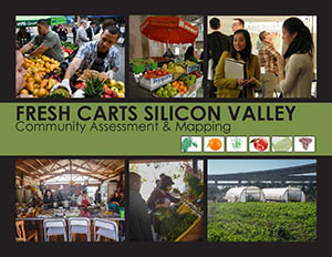 A graduate student team in Fall 2013 advanced the mission of The Health Trust of Silicon Valley, and the City of San Jose, to expand access to fresh produce in
the city by encouraging mobile vending. The students translated the complex Municipal
Code into more user-friendly language for potential vendors and developed an interactive,
web-based mapping tool to guide vendors to potential vending locations.
A graduate student team in Fall 2013 advanced the mission of The Health Trust of Silicon Valley, and the City of San Jose, to expand access to fresh produce in
the city by encouraging mobile vending. The students translated the complex Municipal
Code into more user-friendly language for potential vendors and developed an interactive,
web-based mapping tool to guide vendors to potential vending locations.
Greater Washington Voces de la Comunidad Assessment
Read the report: Greater Washington Voces de la Comunidad Assessment [pdf]
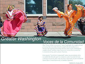 This “Voice of the Community” report highlights the priorities, views, and values
that were identified by Greater Washington residents during a one year assessment
undertaken with Catholic Charities, Santa Clara University, and the CommUniverCity
multi-sector partnership that united staff from the City of San Jose, graduate students
from San José State University's Dept. of Urban & Regional Planning, and local neighborhood
participants. Our primary objective for this report was to effectively capture the
stories, values, concerns, and aspirations of community residents and, additionally,
for the report to serve as a widely shared reference and platform for positive change
that can be undertaken in future partnerships
This “Voice of the Community” report highlights the priorities, views, and values
that were identified by Greater Washington residents during a one year assessment
undertaken with Catholic Charities, Santa Clara University, and the CommUniverCity
multi-sector partnership that united staff from the City of San Jose, graduate students
from San José State University's Dept. of Urban & Regional Planning, and local neighborhood
participants. Our primary objective for this report was to effectively capture the
stories, values, concerns, and aspirations of community residents and, additionally,
for the report to serve as a widely shared reference and platform for positive change
that can be undertaken in future partnerships
Clean Creeks, Healthy Communities
Read the reports:
- Clean Creeks, Healthy Communities: Final Survey Report [pdf]
- Clean Creeks, Healthy Communities: Mid-Project Survey Report [pdf]
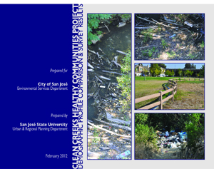 The purpose of the Clean Creeks, Healthy Communities (CCHC) project is to improve
water quality in Coyote Creek by preventing and removing trash that is the result
of littering, illegal dumping, and homeless encampments along the creek.
The purpose of the Clean Creeks, Healthy Communities (CCHC) project is to improve
water quality in Coyote Creek by preventing and removing trash that is the result
of littering, illegal dumping, and homeless encampments along the creek.
In partnership with the City of San José Environmental Services Department (ESD),
San José State University’s Urban and Regional Planning Department has engaged the
residents in the neighborhoods surrounding the Coyote Creek Corridor in a series of
surveys. The first survey was conducted in 2011 and a mid-project report was completed
in 2013 (see below). This report focuses on the results of a Spring 2015 final survey
conducted by students in the Departments of Urban & Regional Planning, Environmental
Studies, and Anthropology.
Hoffman-Via Monte Community Assessment
Read the report: Hoffman-Via Monte Community Assessment [pdf]
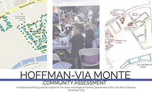 This planning report synthesizes the neighborhood assessment and public engagement
work conducted by a graduate student team in Fall 2013. The students completed a community
assessment to inform future planning activities in the Hoffman-Via Monte (HVM) neighborhood
located six miles south of Downtown San Jose. The need for this assessment stemmed
from quality of life concerns in HVM raised by Neighborhood Housing Services Silicon
Valley (NHSSV) on behalf of the Responsible Landlord Engagement Initiative project.
This initiative is composed of community members, property owners, residents, city
officials, and community leaders dedicated to improving the quality of life in HVM
and other San Jose communities.
This planning report synthesizes the neighborhood assessment and public engagement
work conducted by a graduate student team in Fall 2013. The students completed a community
assessment to inform future planning activities in the Hoffman-Via Monte (HVM) neighborhood
located six miles south of Downtown San Jose. The need for this assessment stemmed
from quality of life concerns in HVM raised by Neighborhood Housing Services Silicon
Valley (NHSSV) on behalf of the Responsible Landlord Engagement Initiative project.
This initiative is composed of community members, property owners, residents, city
officials, and community leaders dedicated to improving the quality of life in HVM
and other San Jose communities.
Re-envisioning Downtown San José: An Integrative Approach to Renew St. James Square
Read the report: Re-envisioning Downtown San José: An Integrative Approach to Renew St. James Square [pdf]
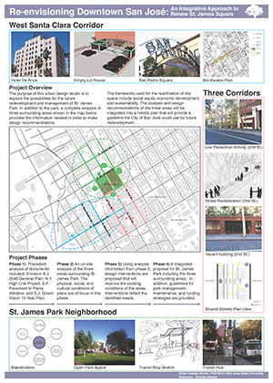 This urban design studio explored future possibilities for redevelopment and long-term
management of public open space, urban corridors, urban markets and transportation
centers in downtown San Jose. The community is currently focused on leveraging and
renewing its existing public assets given the area’s planned residential growth. Using
the frameworks of social equity, economic development and sustainability, the studio
collaborated with San Jose community and city representatives, conducted precedent
analysis, and performed in-depth fieldwork to support design recommendations for three
core urban areas as well as the historic St. James Square. Upon completion of the
project, community leaders selected various proposals for implementation.
This urban design studio explored future possibilities for redevelopment and long-term
management of public open space, urban corridors, urban markets and transportation
centers in downtown San Jose. The community is currently focused on leveraging and
renewing its existing public assets given the area’s planned residential growth. Using
the frameworks of social equity, economic development and sustainability, the studio
collaborated with San Jose community and city representatives, conducted precedent
analysis, and performed in-depth fieldwork to support design recommendations for three
core urban areas as well as the historic St. James Square. Upon completion of the
project, community leaders selected various proposals for implementation.
Neighborhood Assessment & Community Engagement: Spartan Keyes
Read the report: Neighborhood Assessment & Community Engagement: Spartan Keyes [pdf]
 Spartan Keyes is a central San Jose neighborhood situated less than one mile south
of the SJSU Main Campus. This report synthesizes the outcomes of a comprehensive
community assessment of the community and chronicles a number of efforts undertaken
to collaboratively engage residents in the planning process to advance community-determined
priorities. The work was completed by fifty graduate students in our Community Assessment
and Collaborative Neighborhood Planning studio courses and exemplifies the "out of
the classroom and into the neighborhoods" approach that forms the cornerstone of those
courses. The finished professional-grade report highlights the work of our multi-talented
students in the areas of quantitative analysis, survey design and execution, GIS-based
cartography, clear writing, and exemplary graphic design.
Spartan Keyes is a central San Jose neighborhood situated less than one mile south
of the SJSU Main Campus. This report synthesizes the outcomes of a comprehensive
community assessment of the community and chronicles a number of efforts undertaken
to collaboratively engage residents in the planning process to advance community-determined
priorities. The work was completed by fifty graduate students in our Community Assessment
and Collaborative Neighborhood Planning studio courses and exemplifies the "out of
the classroom and into the neighborhoods" approach that forms the cornerstone of those
courses. The finished professional-grade report highlights the work of our multi-talented
students in the areas of quantitative analysis, survey design and execution, GIS-based
cartography, clear writing, and exemplary graphic design.
Safe Routes to School: Anne Darling Elementary and San José High School
Read the reports: Safe Routes to School: Anne Darling Elementary and San José High School [pdf]
 This report is a culmination of two semesters spent assessing conditions in the vicinity
of two schools within San José’s Five Wounds/Brookwood Terrace (FWBT) neighborhood:
Anne Darling Elementary and San José High School. Graduate students in San José State
University’s Masters of Urban Planning Program conducted the work in 2010 and 2011.
Our primary objective in this report is to synthesize our assessment findings and
make recommendations for the implementation of Safe Routes to School programs for
these two schools. Such programs aim to identify and eliminate barriers to active
commuting as one component of public health improvements.
This report is a culmination of two semesters spent assessing conditions in the vicinity
of two schools within San José’s Five Wounds/Brookwood Terrace (FWBT) neighborhood:
Anne Darling Elementary and San José High School. Graduate students in San José State
University’s Masters of Urban Planning Program conducted the work in 2010 and 2011.
Our primary objective in this report is to synthesize our assessment findings and
make recommendations for the implementation of Safe Routes to School programs for
these two schools. Such programs aim to identify and eliminate barriers to active
commuting as one component of public health improvements.
Clean Creeks Healthy Communities Project: Demographic Profile Comparison and Survey Results
Read the report: Clean Creeks Healthy Communities Project: Demographic Profile Comparison and Survey Results [pdf]
The purpose of the Clean Creeks, Healthy Communities (CCHC) project is to improve
water quality in Coyote Creek by preventing and removing trash that is the result
of littering, illegal dumping, and homeless encampments along the creek. In order
to reduce trash in the creek, it is important to engage with local residents to establish
community stewardship of the creek corridor. To achieve this goal, it is essential
to have a baseline understanding of who lives in the community and what are their
awareness of and attitudes towards the creek. To develop this baseline, the 2011 Fall
Semester URBP 280 class performed the following three tasks:
- Collect and analyze U.S. Census Bureau data for the study area;
- Survey residents in the study area on attitudes and behaviors related to the creek; and
- Conduct a trash assessment in the study area.
Urban Agriculture Policy in San Jose
Read the report: Urban Agriculture Policy in San Jose [pdf]
 This report presents analysis of urban agriculture policies in the City of San Jose
as well as some "best practices" from other U.S. cities. The report was prepared as
part of an independent study class conducted in Fall 2011.
This report presents analysis of urban agriculture policies in the City of San Jose
as well as some "best practices" from other U.S. cities. The report was prepared as
part of an independent study class conducted in Fall 2011.
Dorsa-Tockna Community Assessment: City of San Jose Better Buildings Pilot Program
Read the report: Dorsa-Tockna Community Assessment: City of San Jose Better Buildings Pilot Program [pdf]
 This report contains the key findings discovered during a thorough assessment of the
Dorsa-Tockna neighborhood in east San José between September 2010 and June 2011. It
is intended to serve as platform of facts related to existing conditions in the neighborhood,
upon which the City of San José’s staff can implement and build its Better Buildings
Program. This program, sponsored by the U.S. Department of Energy and using funding
from the American Recovery and Reinvestment Act of 2009, promotes large-scale adoption
of residential energy efficiency retrofits in a variety of communities across the
country.
This report contains the key findings discovered during a thorough assessment of the
Dorsa-Tockna neighborhood in east San José between September 2010 and June 2011. It
is intended to serve as platform of facts related to existing conditions in the neighborhood,
upon which the City of San José’s staff can implement and build its Better Buildings
Program. This program, sponsored by the U.S. Department of Energy and using funding
from the American Recovery and Reinvestment Act of 2009, promotes large-scale adoption
of residential energy efficiency retrofits in a variety of communities across the
country.
East Santa Clara Street Corridor: Assessment, Community Engagement, and Improvement Recommendations
Read the report: East Santa Clara Street Corridor: Assessment, Community Engagement, and Improvement Recommendations [pdf]
 This document represents the culmination of work conducted by San José State University
Masters degree candidates in the Urban and Regional Planning Department in the Fall
2009 and Spring 2010 semesters. We endeavored to create a well-constructed and usable
community assessment for a section of East Santa Clara Street in downtown San José,
the tenth-largest city in the United States. This assessment of the corridor encapsulates
existing conditions and includes ideas for future redevelopment and economic revitalization
This document represents the culmination of work conducted by San José State University
Masters degree candidates in the Urban and Regional Planning Department in the Fall
2009 and Spring 2010 semesters. We endeavored to create a well-constructed and usable
community assessment for a section of East Santa Clara Street in downtown San José,
the tenth-largest city in the United States. This assessment of the corridor encapsulates
existing conditions and includes ideas for future redevelopment and economic revitalization
Five Wounds/Brookwood Terrace BART Station Area Community Concept Plan
Read the report: Five Wounds/Brookwood Terrace BART Station Area Community Concept Plan [pdf]
 The 2010 Five Wounds/Brookwood Terrace BART Station Area Community Concept Plan (2010
CCP) documents conceptual plans, urban design guidelines, and associated implementation
strategies for the area surrounding the planned Alum Rock Bay Area Rapid Transit (BART)
Station. The impetus for conducting the 2010 CCP came directly from the Five Wounds/
Brookwood Terrace (FWBT) community. Community members have expressed a strong desire
to be deeply involved in formulating the characteristics of future public investments
and private development for this strategic area
The 2010 Five Wounds/Brookwood Terrace BART Station Area Community Concept Plan (2010
CCP) documents conceptual plans, urban design guidelines, and associated implementation
strategies for the area surrounding the planned Alum Rock Bay Area Rapid Transit (BART)
Station. The impetus for conducting the 2010 CCP came directly from the Five Wounds/
Brookwood Terrace (FWBT) community. Community members have expressed a strong desire
to be deeply involved in formulating the characteristics of future public investments
and private development for this strategic area
A Parking Utilization Survey of Transit-Oriented Development Residential Properties
Read the reports:
- A Parking Utilization Survey of Transit-Oriented Development Residential Properties in Santa Clara County. Volume 1: Technical Report [pdf]
- A Parking Utilization Survey of Transit-Oriented Development Residential Properties in Santa Clara County. Volume 2: Technical Appendices [pdf]
- Report Summary [pdf]
- Press Release, ITE Best Practices Award [pdf]
 In the Spring of 2010, a graduate class at San José State University in Urban and
Regional Planning teamed up with the Santa Clara Valley Transportation Authority (VTA)
to study parking at transit oriented development (TOD) residential projects in the
southern portion of the San Francisco Bay Area. By observing the parking utilization
rates at 12 housing developments near VTA light rail and Caltrain stations, this collaborative
research effort produced valuable, local evidence that the parking supply at projects
of this type exceeds actual demand. And in corroborating recent research which demonstrated
that other TOD residential properties in the Bay Area are also “over parked” (Cervero
2009), the study provides useful evidence to help inform decision makers that less
parking can and ought to be required for housing projects that are located near rail
transit service.
In the Spring of 2010, a graduate class at San José State University in Urban and
Regional Planning teamed up with the Santa Clara Valley Transportation Authority (VTA)
to study parking at transit oriented development (TOD) residential projects in the
southern portion of the San Francisco Bay Area. By observing the parking utilization
rates at 12 housing developments near VTA light rail and Caltrain stations, this collaborative
research effort produced valuable, local evidence that the parking supply at projects
of this type exceeds actual demand. And in corroborating recent research which demonstrated
that other TOD residential properties in the Bay Area are also “over parked” (Cervero
2009), the study provides useful evidence to help inform decision makers that less
parking can and ought to be required for housing projects that are located near rail
transit service.
Santee Neighborhood Community Assessment Analysis
Read the report: Santee Neighborhood Community Assessment Analysis [pdf]
 This report is the product of collaboration between the Franklin-McKinley Children’s
Initiative (FMCI), the City of San José Strong Neighborhood’s Initiative (SNI), and
students of the San José State University Urban and Regional Planning master’s degree
program. This report is the culmination of the collective work of 15 students during
the Fall 2010 semester. As part of this collaborative process, the students decided
to call the planning committee “Studio 201.” The members of Studio 201 are grateful
for the opportunity to have worked directly with FMCI, SNI, and the community members
and leaders of the Santee neighborhood
This report is the product of collaboration between the Franklin-McKinley Children’s
Initiative (FMCI), the City of San José Strong Neighborhood’s Initiative (SNI), and
students of the San José State University Urban and Regional Planning master’s degree
program. This report is the culmination of the collective work of 15 students during
the Fall 2010 semester. As part of this collaborative process, the students decided
to call the planning committee “Studio 201.” The members of Studio 201 are grateful
for the opportunity to have worked directly with FMCI, SNI, and the community members
and leaders of the Santee neighborhood
Alviso Community Assessment and Urban Design Analysis Report
Read the report: Alviso Community Assessment and Urban Design Analysis Report [pdf]
 During the 2008-2009 academic year, twenty-four Masters degree candidates conducted
an assessment of Alviso through statistical analyses, interviews with community members,
photographs and extensive field research. Our overarching goal was to conduct the
type of foundational community analysis essential to the practice of professional
urban planning: the documentation of existing conditions and historical context. Student
teams viewed Alviso from a wide range of angles – as statisticians, historians, social
documentarians, information design specialists and ecologists – under the guidance
of Richard M. Kos, AICP.
During the 2008-2009 academic year, twenty-four Masters degree candidates conducted
an assessment of Alviso through statistical analyses, interviews with community members,
photographs and extensive field research. Our overarching goal was to conduct the
type of foundational community analysis essential to the practice of professional
urban planning: the documentation of existing conditions and historical context. Student
teams viewed Alviso from a wide range of angles – as statisticians, historians, social
documentarians, information design specialists and ecologists – under the guidance
of Richard M. Kos, AICP.
San Jose Urban EcoPark
Read the report: San Jose Urban EcoPark [pdf]
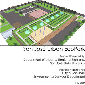 During Spring 2007, graduate students enrolled in "Urban Planning 260: Environmental
Planning Topics" at San Jose State University's Department of Urban & Regional Planning
were tasked by the Environmental Services Department (ESD) at San Jose to develop
a Master Plan for a proposed "Urban EcoPark" to be located at 1608 Las Plumas Avenue
in San Jose. Development of the site was to occur in two phases. The first phase involved
the establishment of an outdoor temporary household hazardous waste (HHW) drop-off
facility. The second phase, which was the primary focus for the students' master plan,
involved the relocation of the HHW into the existing warehouse on site and the redevelopment
of the 46,000 sq. ft. facility and 2.5 acre site to support environmental programming
and education.
During Spring 2007, graduate students enrolled in "Urban Planning 260: Environmental
Planning Topics" at San Jose State University's Department of Urban & Regional Planning
were tasked by the Environmental Services Department (ESD) at San Jose to develop
a Master Plan for a proposed "Urban EcoPark" to be located at 1608 Las Plumas Avenue
in San Jose. Development of the site was to occur in two phases. The first phase involved
the establishment of an outdoor temporary household hazardous waste (HHW) drop-off
facility. The second phase, which was the primary focus for the students' master plan,
involved the relocation of the HHW into the existing warehouse on site and the redevelopment
of the 46,000 sq. ft. facility and 2.5 acre site to support environmental programming
and education.
The plan received the California Chapter of the American Planning Association Award and the California Chapter of the American Planning Association Northern Section's Award for Outstanding Planning Achievement for a Student Project in 2008.
24th and William Street Commercial Center Improvement Plan
Read the report: 24th and William Street Commercial Center Improvement Plan [pdf]
 During the 2002/2003 academic year, students and faculty from San José State University’s
Urban and Regional Planning Department worked with community members and city staff
to develop a plan for the William Street and 24th-McLaughlin commercial node, located
within the Five Wounds/Brookwood Terrace neighborhood in San José. The planning team
assessed current conditions at the William Street and 24th-McLaughlin commercial node,
drafted a vision statement that accurately reflects the community’s envisioned future
for the commercial node and developed specific action steps to implement this vision.
During the 2002/2003 academic year, students and faculty from San José State University’s
Urban and Regional Planning Department worked with community members and city staff
to develop a plan for the William Street and 24th-McLaughlin commercial node, located
within the Five Wounds/Brookwood Terrace neighborhood in San José. The planning team
assessed current conditions at the William Street and 24th-McLaughlin commercial node,
drafted a vision statement that accurately reflects the community’s envisioned future
for the commercial node and developed specific action steps to implement this vision.
This collaborative process culminated in the production of a report that includes recommendations to improve the viability and vitality of the commercial node.
33rd and McKee Commercial Node Improvement Plan
Read the report: 33rd and McKee Commercial Node Improvement Plan [pdf]
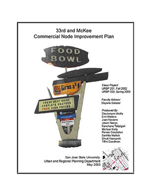 This report is the result of a yearlong collaborative planning process conducted during
the 2002/2003 academic year by urban planning students and faculty at San José State
University in partnership with community members and city staff. The planning team
conducted a study of the environmental, physical and socio-cultural facts of the Anne
Darling and Little Portugal North neighborhoods, solicited input from community members
regarding their impression of and vision for their neighborhood, crafted recommendations
based on land use surveys as well as concerns and ideas generated at community workshops.
Community members and city staff provided feedback on these recommendations.
This report is the result of a yearlong collaborative planning process conducted during
the 2002/2003 academic year by urban planning students and faculty at San José State
University in partnership with community members and city staff. The planning team
conducted a study of the environmental, physical and socio-cultural facts of the Anne
Darling and Little Portugal North neighborhoods, solicited input from community members
regarding their impression of and vision for their neighborhood, crafted recommendations
based on land use surveys as well as concerns and ideas generated at community workshops.
Community members and city staff provided feedback on these recommendations.
The improvement plan presented in this report focuses on affordable and easily executable solutions that would provide the greatest benefit to the neighborhood.
Collaborative Plan: Bonita, Brookwood, Five Wounds, McKinley, and Olinder Neighborhoods
Read the report: Collaborative Plan: Bonita, Brookwood, Five Wounds, McKinley, and Olinder Neighborhoods [pdf]
 This report presents a neighborhood improvement plan for five neighborhoods one mile
east of downtown San José: Bonita, Brookwood Terrace, Five Wounds, McKinley and Olinder.
It summarizes the views and concerns of its residents, outlines the existing conditions
in the community, and presents recommendations for specific areas of intervention
within the neighborhoods. The work was conducted during the 1998-1999 academic year, under the
umbrella of San José State’s Community Outreach Partnership Center (SJSU COPC), sponsored
by the U.S. Department of Housing and Urban Development (HUD), San José State University’s
Office of the Provost and the Luke Hancock Foundation.
This report presents a neighborhood improvement plan for five neighborhoods one mile
east of downtown San José: Bonita, Brookwood Terrace, Five Wounds, McKinley and Olinder.
It summarizes the views and concerns of its residents, outlines the existing conditions
in the community, and presents recommendations for specific areas of intervention
within the neighborhoods. The work was conducted during the 1998-1999 academic year, under the
umbrella of San José State’s Community Outreach Partnership Center (SJSU COPC), sponsored
by the U.S. Department of Housing and Urban Development (HUD), San José State University’s
Office of the Provost and the Luke Hancock Foundation.
This neighborhood improvement plan has informed the decision-making process at the local government level. For instance, neighborhood recommendations generated by this collaboration have resulted in the design and construction of the 13-acre Selma Olinder neighborhood park. Other recommendations outlined in the work plan resulted in boosting city resources towards housing assistance, public safety, and street and traffic management.
Five Wounds Brookwood Terrace Neighborhood Improvement Plan Amendment
Read the report: Five Wounds Brookwood Terrace Neighborhood Improvement Plan Amendment [pdf]
 In 2002 the Five Wounds/Brookwood Terrace community developed a Neighborhood Improvement
Plan (NIP) with principles, concepts, and strategies that guided improvement efforts
and brought over $90 million in public funds to the community during the next four
years. Encouraged by these remarkable accomplishments the community worked diligently
during the 2005-2006 academic year to update its action agenda with the assistance
of the San José State University urban planning team and city staff. Goals and strategies
have been renewed and documented in the Five Wounds/Brookwood Terrace Neighborhood
Improvement Plan Amendment (NIPA), a road map for the community, the city, and organizations
that have a stake in promoting a healthy, vibrant neighborhood.
In 2002 the Five Wounds/Brookwood Terrace community developed a Neighborhood Improvement
Plan (NIP) with principles, concepts, and strategies that guided improvement efforts
and brought over $90 million in public funds to the community during the next four
years. Encouraged by these remarkable accomplishments the community worked diligently
during the 2005-2006 academic year to update its action agenda with the assistance
of the San José State University urban planning team and city staff. Goals and strategies
have been renewed and documented in the Five Wounds/Brookwood Terrace Neighborhood
Improvement Plan Amendment (NIPA), a road map for the community, the city, and organizations
that have a stake in promoting a healthy, vibrant neighborhood.
The community’s overarching vision remains close to its original. Residents want their neighborhood to be a safe, “small-town” environment, with walkable streets connecting central areas of community life, and thriving community-serving business corridors and retail nodes.
K.O.N.A. Community Services Network
Read the report: K.O.N.A. Community Services Network [pdf]
 Through the City of San José's Strong Neighborhoods Initiative process, residents
of the King Ocala Neighborhood Area (K.O.N.A.) identified greater partnership with
schools, improved community services and enhanced community facilities as top priorities.
San José State University’s Urban and Regional Planning Department conducted an assessment
of the neighborhood’s community service strengths and needs, and conducted an open
participatory discussion with community stakeholders during the 2004-2005 academic
year.
Through the City of San José's Strong Neighborhoods Initiative process, residents
of the King Ocala Neighborhood Area (K.O.N.A.) identified greater partnership with
schools, improved community services and enhanced community facilities as top priorities.
San José State University’s Urban and Regional Planning Department conducted an assessment
of the neighborhood’s community service strengths and needs, and conducted an open
participatory discussion with community stakeholders during the 2004-2005 academic
year.
The community assessment and public input provided the foundation to identify the key guiding principles, goals and priorities, and recommended actions presented in this report. This process revealed a wealth of community services in the neighborhood, yet the under-utilization of some services and over-extension of others also became evident. The assessment also revealed that physical and operational connections necessary to facilitate the efficient and effective use of community services by residents are lacking. Hence, the report identifies a network of community services as the vehicle to overcome these connection barriers and provide residents with accessible, high-quality community services in a safe neighborhood environment.
Market Almaden Neighborhood Improvement Plan
Read the report: Market Almaden Neighborhood Improvement Plan [pdf]
 Surrounded by the City of San José’s flourishing downtown, Market-Almaden has immediate
access to major downtown amenities. This five-block historic neighborhood retains
a small town atmosphere while surrounded by the commercial, entertainment, and cultural
districts of downtown San José, as well as major roads and highways that serve as
gateways into the city. The neighborhood’s unique geographic setting is the source
of its major assets and its major challenges as well.
Surrounded by the City of San José’s flourishing downtown, Market-Almaden has immediate
access to major downtown amenities. This five-block historic neighborhood retains
a small town atmosphere while surrounded by the commercial, entertainment, and cultural
districts of downtown San José, as well as major roads and highways that serve as
gateways into the city. The neighborhood’s unique geographic setting is the source
of its major assets and its major challenges as well.
In order to address these challenges and protect the special character of Market-Almaden, San José State University’s urban planning team, the City of San José Strong Neighborhoods Initiative, and the Market-Almaden community joined in a strategic planning process that established a shared vision and goals for the neighborhood. The planning process included many community meetings and ten months of hard work during the 2001-2002 academic year.
The Market-Almaden Neighborhood Improvement Plan report was adopted by the City of San José Council in March 2003. The project won the 2003 AICP Student Award for Applying the Planning Process; the 2003 American Planning Association California Chapter Academic Leadership and Service Award; and the 2003 Northern Section California Chapter American Planning Association Academic project.
North Campus Area Plan
Read the report: North Campus Area Plan [pdf]
 During the 1997-1998 academic year faculty and students from the Urban and Regional
Planning Department at San José State University worked in collaboration with members
of the community and students from Horace Mann Academy to develop a plan for the urban
neighborhood immediately north of the university campus. Major changes have already
taken place in this neighborhood. San José’s new half a million square feet Civic
Center complex, along with a number of cultural and support services, have relocated
in the heart of this community seven years after the completion of the plan.
During the 1997-1998 academic year faculty and students from the Urban and Regional
Planning Department at San José State University worked in collaboration with members
of the community and students from Horace Mann Academy to develop a plan for the urban
neighborhood immediately north of the university campus. Major changes have already
taken place in this neighborhood. San José’s new half a million square feet Civic
Center complex, along with a number of cultural and support services, have relocated
in the heart of this community seven years after the completion of the plan.
The report outlines the existing conditions in the community and presents recommendations for special intervention areas within the neighborhood. It encapsulates the views and concerns of its residents and business community and sets forth intervention strategies to work towards their vision.
This project was conducted under the umbrella of San José State’s Community Outreach Partnership Center (COPC), sponsored by the US Department of Housing and Urban Development (HUD) and San José State University’s office of the Provost.
Renewing the Action Agenda: Strong Neighborhoods Initiative
Read the report: Renewing the Action Agenda: Strong Neighborhoods Initiative [pdf]
The Strong Neighborhoods Initiative (SNI), formally launched in 2000, is a partnership between the City of San José, San José the Redevelopment Agency (SJRA), and San José’s residents and business owners. SNI aims to strengthen the City’s neighborhoods by building clean, safe, and strong neighborhoods with independent, capable, and sustainable resident leadership. Nineteen SNI areas encompass about 10,000 acres that include older downtown and first-tier suburban neighborhoods. Each SNI area developed a Neighborhood Improvement Plan (NIP) through the collaborative efforts of city agencies, citizen groups, community-based organizations, and community members.
Six years into the SNI, each neighborhood was set to review what had been accomplished since the release of its original NIP, reaffirming the vision for the community, and determining the direction to be followed in the next three to five years. This handbook is designed to serve as a template for each SNI area as it embarks on the process of renewing its Action Agenda and documenting it in a Neighborhood Improvement Plan Amendment (NIPA). The handbook was prepared by a planning team of San José State University faculty and students during the 2006-2007 academic year.
Seven Trees Neighborhood Plan
Read the report: Seven Trees Neighborhood Plan [pdf]
 At the request of the City of San José’s Vice-Mayor, a team of Urban Planning faculty
and graduate students worked with city staff and the recently formed Seven Trees Neighborhood
Group during the 2000-2001 academic year to apply the Collaborative Neighborhood Planning
model to articulate a collective vision for the Seven Trees community.
At the request of the City of San José’s Vice-Mayor, a team of Urban Planning faculty
and graduate students worked with city staff and the recently formed Seven Trees Neighborhood
Group during the 2000-2001 academic year to apply the Collaborative Neighborhood Planning
model to articulate a collective vision for the Seven Trees community.
A series of conversations facilitated in public meetings and workshops ensued. Residents of all ages were invited to meet their neighbors to talk about what they liked in their community, discuss aspects they wanted to change and explore possible ways to improve and strengthen the neighborhood. The university team recorded all the information and generated a plan to respond to public input.
The report summarizing the planning process has been used by city departments as a blueprint to direct public resources to further strengthen the Seven Trees community. More importantly, it has also been used by neighborhood residents to set direction in their community-building efforts.
Tully-Senter School – Community Hub: Facilities and Services Assessment
Read the report: Tully-Senter School – Community Hub: Facilities and Services Assessment [pdf]
 In its 2002 Tully-Senter Neighborhood Improvement Plan, community members identified
their ten top priority actions to improve the neighborhood. Leading the list was the
establishment of a School Hub, a community facility that would provide space for multiple
services.
In its 2002 Tully-Senter Neighborhood Improvement Plan, community members identified
their ten top priority actions to improve the neighborhood. Leading the list was the
establishment of a School Hub, a community facility that would provide space for multiple
services.
In the fall of 2003 the San José State University planning team contributed to the first stage in the implementation of the School-Community Hub. The planning team employed an asset-based approach to data collection and analysis, which included surveying existing services and facilities, interviewing community members through focus groups and community-wide meetings, and conducting a demographic analysis to further understand the characteristics of the neighborhood.
The purpose of the assessment was to determine whether a new community facility was indeed needed, before proceeding with the programming and conceptual design process. The results of the assessment support the recommendation for a new community facility.
San José's Mayfair Community: Pedestrian/Bicyclist Safety and Neighborhood Convenience Study, Safe Routes for the Mayfair Community
Read the report: San José's Mayfair Community: Pedestrian/Bicyclist Safety and Neighborhood Convenience Study, Safe Routes for the Mayfair Community [pdf]
 In the fall 2004 San José State University urban and regional planning students in partnership with the Transportation and Land Use Coalition (TALC) and
the Mayfair community conducted a study with the objective to provide the community
with a reference and guide to: 1) improve pedestrian and bike safety on the way to
and around enhanced bus or light rail stations along Alum Rock Avenue; and 2) provide
convenience services around the stations.
In the fall 2004 San José State University urban and regional planning students in partnership with the Transportation and Land Use Coalition (TALC) and
the Mayfair community conducted a study with the objective to provide the community
with a reference and guide to: 1) improve pedestrian and bike safety on the way to
and around enhanced bus or light rail stations along Alum Rock Avenue; and 2) provide
convenience services around the stations.
A detailed demographic profile was developed with an emphasis on the segment of the population that relies most on public transit. Community input was gathered through three community meetings and over 400 surveys. Analysis of pedestrian and bicyclist collisions was conducted using the City of San José’s data, followed by a review of station design. This report documents the conclusions of the research, and includes recommendations for bicycle and pedestrian improvements that are needed for residents to have a safer and more pleasurable walk or bike to the proposed stations along Alum Rock Avenue, and recommendations to improve the convenience of using the new stations.
Planning in San Jose: A Community Guide (English version)
Read the report: Planning in San Jose: A Community Guide (English version) [pdf]
In the 2004-2005 academic year the City of San José Planning Department commissioned a team of urban planning faculty and graduate students to develop an introduction to land use planning and development for people unfamiliar with the process in the City, as well as for those already acquainted with the practice who want to learn more. The Guide is a resource for residents, business owners and property owners, as well as for developers interested in building in San José.
Planificacion en San José: Una Guia Para La Comunidad (Spanish version)
Read the report: Planificacion en San José: Una Guia Para La Comunidad (Spanish version) [pdf]
 The San José State University planning team was commissioned to translate Planning
in San José: A Community Guide in spring of 2007.
The San José State University planning team was commissioned to translate Planning
in San José: A Community Guide in spring of 2007.
Durante el a–o académico del 2004-2005 el departamento de planificaci—n de la ciudad de San José le encarg— a un equipo de profesores y estudiantes de post-grado que desarrollaran una cartilla introductoria acerca de la planificaci—n y el desarrollo territorial destinada a las personas que no conocen estos procesos y a las personas que ya los conocen pero quieren aprender más. La Guía sirve como recurso para residentes, propietarios de negocios y de terrenos, y también para constructores a quien les interese construír en San José.